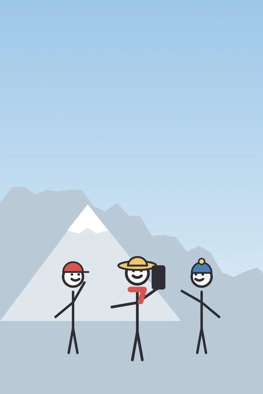
Eleven Days in Svaneti
In late August we walked a part of the Transcaucasian Trail through Upper Svaneti, in the Caucasus of north-western Georgia: eleven days, one of them spent resting, 138 km and about 8,500 m of climbing. The highest pass was at about 3,400 m.
A trip post is a page bundle: this index.md, the route as route.geojson and a folder of photos per gallery.
The map draws each day in the colour its GeoJSON feature names (stroke), here every other day in blue, or else in
the colour scheme’s accent, and the nights as points (marker-color). Click a day for its distance and climbing.
The lakes
The photos are the folder lakes/, in the order of their names; photos.yaml next to it has their alt text,
captions and places. The last one is a video: 06-drift.mp4 with 06-drift.jpg as its poster.

Leaving before sunriseMestia, Georgia 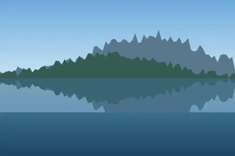
Svaneti, Georgia 
Into the fog on day two 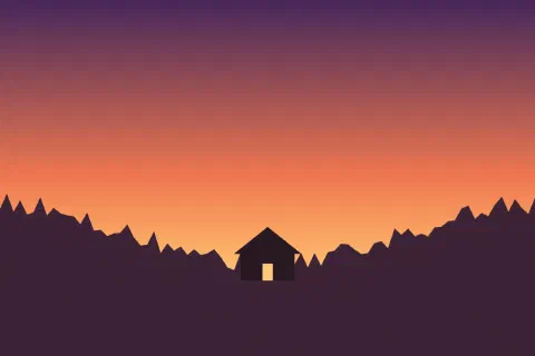
The guesthouse, finallySvaneti, Georgia 
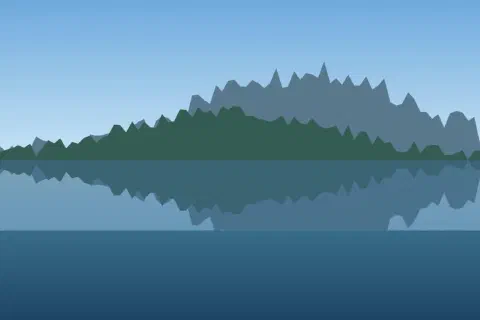
The lake below the pass




The friends
A second gallery is a second folder, here friends/, with its entries in the same photos.yaml. Each gallery has
its own viewer: swiping stays within the folder.
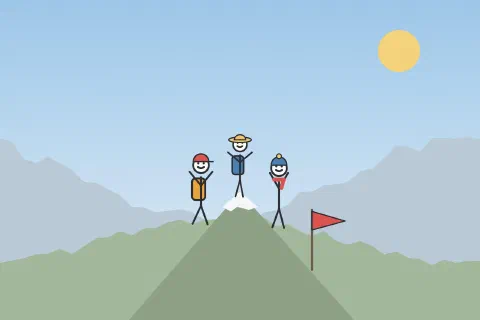
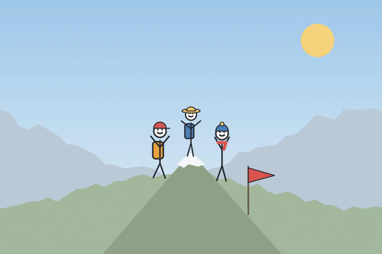
All three of us on topSvaneti, Georgia 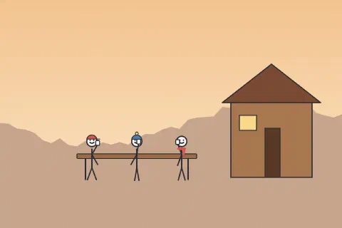
Cheers in MestiaMestia, Georgia 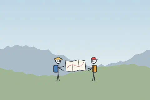
Which way now? 
Day two was wetSvaneti, Georgia 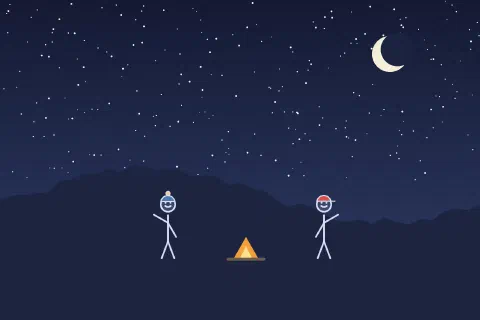
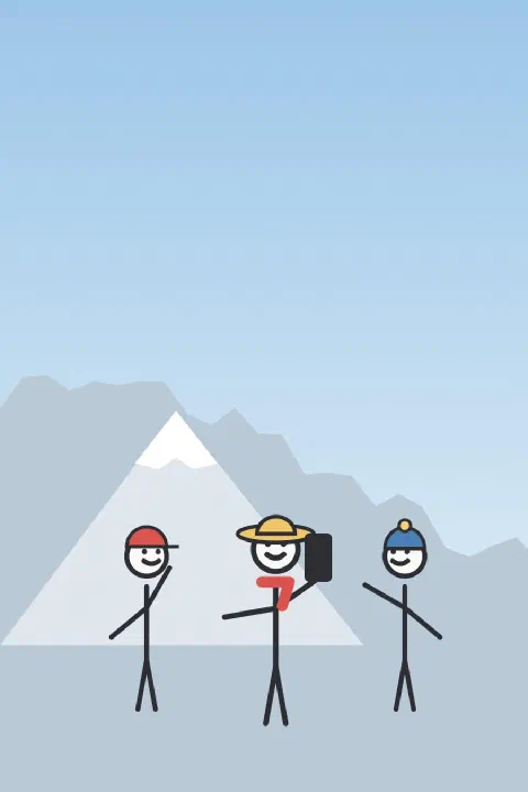
The obligatory selfie